

Rwanda is expanding the use of satellite imagery across government, universities and selected businesses under a new national programme with U.S.-based Earth-observation company Planet Labs, as the country seeks to use space technology for agriculture, environmental monitoring and disaster management.
The programme, announced Aug. 10, will provide Planet’s near-daily satellite imagery and data feeds to government agencies, public universities, selected startups and development partners supporting national priorities.
The Rwanda Space Agency will manage the programme, with the satellite data expected to support agriculture and food security monitoring, forest health, urban planning and zoning, and disaster preparedness, response and recovery.
The initiative also gives public universities access to satellite imagery for undergraduate training and advanced research in Earth observation, while selected startups working on national priorities will be able to use Planet’s data to develop products and services.
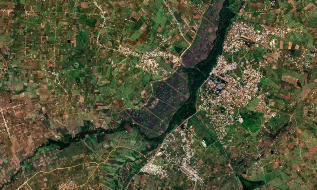
Planet described the initiative as its first national programme of this kind in Africa. The company said the programme is intended to make satellite data a tool for government decision-making and development planning.
The partnership builds on earlier discussions between Rwanda and Planet. In 2022, Rwanda’s Ministry of Agriculture said government officials and Planet representatives discussed using satellite imagery to improve agricultural and environmental management as well as disaster management.
A year later, Space in Africa reported that Rwanda and Planet were discussing broader applications of the company’s high-frequency satellite imagery in agriculture, environmental management and disaster response.
The latest programme therefore moves beyond discussions about potential applications and establishes a national framework for making Planet’s data available to public institutions and other selected users.
For Rwanda, the increased frequency of satellite observations could give institutions more regular information about changes on the ground, supporting planning and monitoring in sectors where conditions can change quickly.
The programme also comes as Rwanda continues to build capacity in Earth observation. In 2023, the Food and Agriculture Organization said it was supporting training for Rwandan scientists in the use of Earth-observation data to produce standardized land-cover maps for agricultural planning.
The government and Planet have not publicly disclosed the financial value of the programme.